weather

Weather.Watch. 

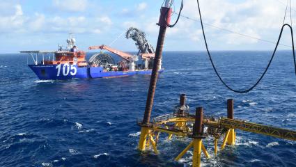
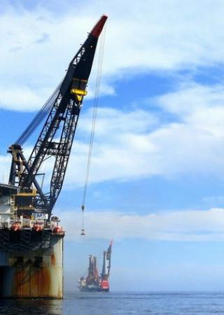
Our weather services, which include site-specific and route weather forecasting and hindcasting, forensic meteorology and risk modelling, support the offshore construction market and shipping industry and the cause analysis of losses on and offshore. We routinely offer detailed seven-day forecasts of wind, wave and ocean swell, that are easy to interpret, but for more complex scopes, we tailor our products to satisfy your operational and insurance needs. Our expert forecasters are marine meteorologists who are trained in the fields of atmospheric and oceanographic analysis.

Forecasting

We provide site-specific and route weather forecasting to support international offshore construction projects, dry transports, tows and general marine operations.

Image
Forecasting

Our timely and dependable marine weather forecasts offer detailed seven-day forecasts of wind, wave and swell. All forecasts are provided by marine meteorologists that have been trained in atmospheric and oceanographic sciences. Our forecasts are designed to be easy to read and include:

  • Clear maximum combined seas.
  • Time series graphs of wind, wave and swell.
  • Limiting criteria are also represented clearly and graphically.
  • Satellite images and charts of wind and wave.

Forensic meteorology

Image
Forensic

Our forensic meteorology and oceanography services to the energy and marine insurance industries worldwide our often used to support our adjusting activities but are also available separately.

We provide detailed hindcast data and return period analysis relating to historical weather events. Datasets in our tailored hindcast reports can include wind, wave, swell, ocean current, lightning and precipitation to name a few.

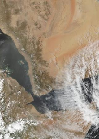
GIS Database and Statistical Modelling

Image
GIS database

We offer a comprehensive geographic information system (GIS) designed to capture, store, analyse, manage, and present risks on behalf of the insurance markets worldwide. Our catastrophe model can calculate and estimate the losses that could be sustained due to extreme events including tropical revolving storms.

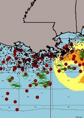
STORMTRACKER 2.0 WEB-APP

Our in-house developed app provides real time hurricane tracking to give you the most up-to-date and reliable hurricane information in the palm of your hand.

Image
Stormtracker2.0

We have coupled this with assets databases to give the insurance markets ready access to consider the potential impact as storms track though the oil and gas producing areas. The app provides:

  • Real time updates
  • Intuitive controls using the Touch Screen interface
  • Easy to read graphics with detailed asset information
  • Automated color-coding for wave damage likelihood as a storm approaches
  • Platform, MODUs and Deep Water units plotted on hurricane track maps